Our trip was cut short because of torrential rains and a campground power outage following a lightning storm… 2.5 inches of rain had mud across the roads and navigation was challenging.
The pads are fairly level and easy access for back-in and drive-thru sites.
We had expected a longer stay, however with the power out due to a blown transformer we opted not to stay.
Park Map
What we liked / disliked
Notes
During the overnight storm we realized that there was no way for park staff to communicate with campers at the base of the park and to communicate road conditions, etc. We actually wondered if we were safe?
This is a super clean park, just up in the hills above Colorado Springs.
The pads are level for a short rig and looked to be all concrete pads throughout the park.
Some pads are sloped from the road and longer rigs may not be able to level.
The park is built on a ‘ledge’ just below Cheyenne Mountain and below the Cheyenne Mountain Complex. Because of the elevation, there are beautiful views of the plains!
No real paths to shower building (One shower facility to service all sites)
No road markers for campground Reverend Ridge Campground. Google Maps & Ford Nav directed us to the visitor center which is 7 miles from our campground.
Laundry and kitchen wash area available.
Small amphitheater behind office building.
Park Map
Area Map
Area Map
Campground
Park Map
What we liked / disliked
Notes
No cell service.
Showers are coin.
Chip rock / mountain gravel road from Hwy 119.
Library about 3 miles away for internet.
Close to historic Central City and BlackHawk casinos.
Photos
Central City
Central City
yOre Cart
Winning!
Amphitheater
ONLY local communications
2020 Must have been worse than we thought! Lock it down!
This is a small park / camping area. The ‘park’ is actually three separated parks all with different facilities and amenities. This is a camping area directly off I-70 and along the Colorado River.
Vault toilets and flush available at camper service center.
Pads are gravel but level.
Some shade in some areas.
Colorado River right in camp ground! There is a berm that separates the campground from the river.
Amphitheater and playground area.
Park Map
What we liked / disliked
Notes
Loops D and C are closer to I70 so more traffic noise.
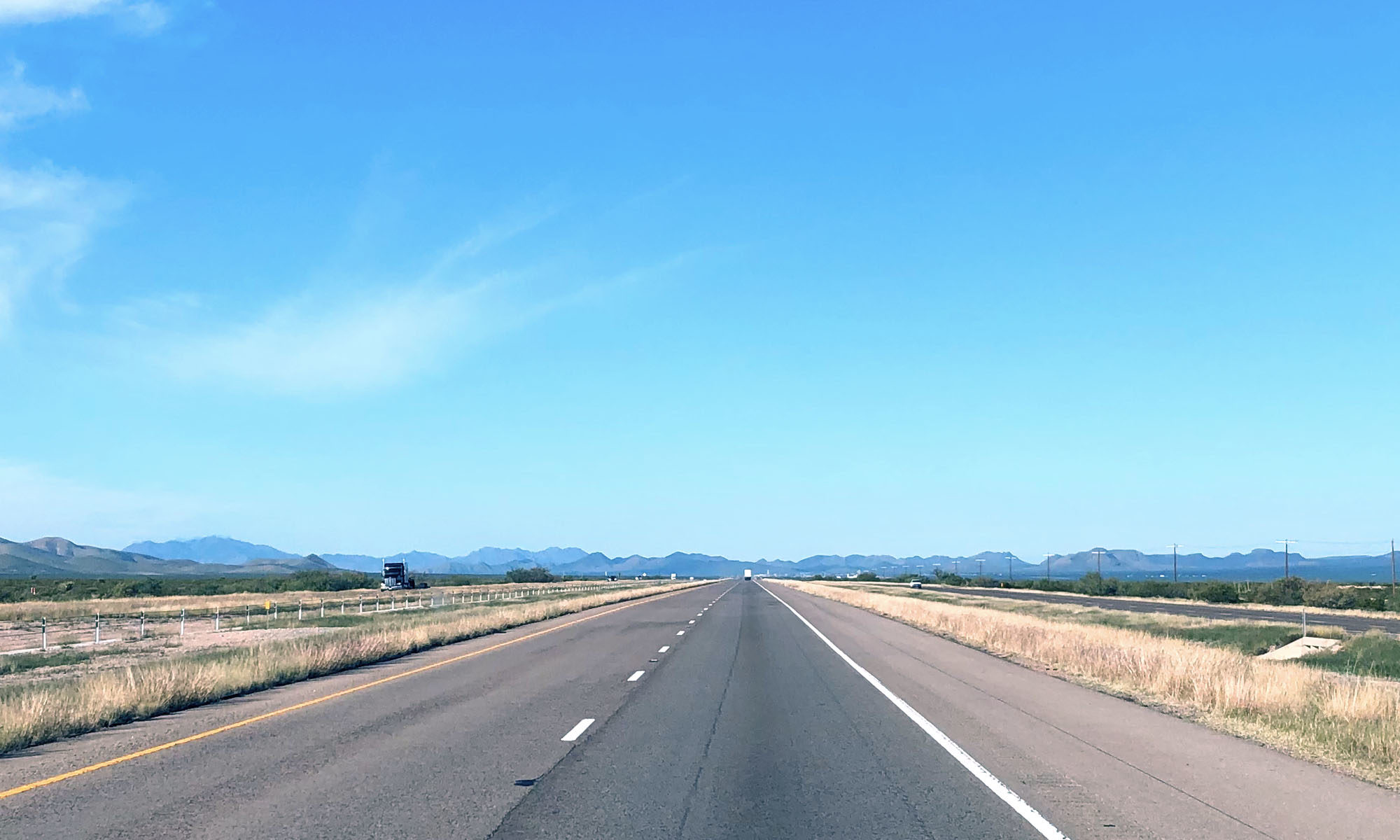
Horrible roads. Gravel from the south that Google Maps directed us as a ‘passable’ road… The road on the north is patched pavement and not a whole lot better!
Vault toilets
Water in each camping loop
Water activities. Fishing, boating, etc.
Good cell service.
Several toilets and showers out of service!
Google Directions from South
Old Ranch Houses
Old Ranch House
Park Map
What we liked / disliked
Notes
Wildlife is limited as this is a camping area to service the lake activities.
Dirt pads that are not close to being level after being rutted by rain and scraped to smooth.
No shade in this park!
Some pads are elevated and look into the neighbors.
2021 has been a wet summer so far more green grass!
Remember… Bison have the right of way!
This is such a clean park and fun to explore.
Park Map
What we liked / disliked
Wildlife!
We enjoyed watching the burrowing owls, quail, bison, dung beetles and tarantulas.
Fortunately we captured several photos of the bison on our arrival day. After the overnight storms, they disappeared into the canyons and were not visible the next two days.
This is a nice sized park with space for tents, trailers and RVs.
There were hot showers and fairly clean.
The pads are spaced for some privacy.
We were surprised how quiet this park was, given the proximity to the city and Interstate.
The location was very convenient from the interstate.
No playground that we found.
Nice and shady
What we liked / disliked
Notes
Pads not level, some rigs may be challenged finding a level spot
No walkable path down to lake. The camp area is up 1-200′ from the lake level and we did not discover any park-provided nor camper-made trails to the lake.
No water at site.
Photos
Lake from dam
Trail Map
Camp area 1-200′ above lake
Shower guests
Our site
This website uses cookies to improve your experience. We'll assume you're ok with this, but you can opt-out if you wish.AcceptRead More
Privacy & Cookies Policy
Privacy Overview
This website uses cookies to improve your experience while you navigate through the website. Out of these, the cookies that are categorized as necessary are stored on your browser as they are essential for the working of basic functionalities of the website. We also use third-party cookies that help us analyze and understand how you use this website. These cookies will be stored in your browser only with your consent. You also have the option to opt-out of these cookies. But opting out of some of these cookies may affect your browsing experience.
Necessary cookies are absolutely essential for the website to function properly. This category only includes cookies that ensures basic functionalities and security features of the website. These cookies do not store any personal information.
Any cookies that may not be particularly necessary for the website to function and is used specifically to collect user personal data via analytics, ads, other embedded contents are termed as non-necessary cookies. It is mandatory to procure user consent prior to running these cookies on your website.