Because of the pandemic closings, our New Mexico plans were cancelled so we opted for additional time in Colorado. This campground proved to be a good choice!
Although Trinidad is on the front range of the Rockies, the park and lake are in a nice. mountain setting just to the west.
Our chosen site was occupied by another camper, (his reservation error), so we had to wait a bit to get him moved around.
Because the campground is above the lake, the views are quite nice.
Narrow roads to the camping pads and parking could be a challenge for some big rigs.
The exterior pads in the loop are paved and interior are gravel.
There is a new shower building with clean restrooms and shower area.
Park Map
What we liked / disliked
Notes
The park has a number of nice gathering spaces available including an amphitheater.
Park trail maps need painting!
We had a very nice space and some Good Neighbors to chat with during our stay!
Well, the year has started with changes for all campers… Many State Parks, National Parks and local campgrounds are closed or closing due to the Covid 19 pandemic. We have had some reservations cancelled already and are looking at what options will be available to us as the year progresses.
In the mean time, keep your social distances in check; your hands clean; and keep your DNA to yourself as much as you can!
Weather – Warm one day, cool and comfortable for February!
Facilities
Park Map
The park is in a busy industrial area of Laredo near the airport.
The park was originally a county park and transferred to the State Park system about 20 years ago. There was a pool but it has been filled in and is no longer in use.
The park is maintained and fairly clean.
What we liked / disliked
Notes:
There was very little activity in the park so it’s fairly quiet except traffic noise.
Road noise significant in the AM. Camp area 100 is closest to the highway and appeared to us to be the noisiest. Areas 200 and 300 have another small ridge between them and may be quieter.
Laredo is a very industrialized area with manufacturing and U.S. assembly common to many boarder cities. As such, there is a lot of traffic and aggressive driving!
Nice size parking areas with some hard pack areas. The pads are reasonably level with a few exceptions that might require 4-8” of leveling material.
This is a desert area surrounding the lake so the flora and fauna are reflective of this climate.
Trains run somewhere nearby… all night with grade crossing horns.
There are several large group areas, a playground and assembly areas.
A simple birding map is available and we enjoyed seeing birds not as common to our home in central Texas.
Each pad has a covered picnic table and fire pit.
The trails are simple and shared with mountain bikes.
The showers and restrooms were clean.
We took a trip into the historic downtown which is only 20 min. away. The San Augustin Cathedral was closed for major renovations… (this fact was not noted on their website). Call ahead when you make your visit to see if the construction has been completed.
Bring bird seed and enjoy the birds as they visit your feeders. Our nice neighbors had a seed hanger and attracted several Green Jays.
We saw a red-tailed fox one afternoon and a gray fox one evening. The lake brings the water birds and wading birds too.
This is a simple set up with a wide open parking area. Easy back in spaces for all sizes of RVs and trailers.
There are covered picnic tables ( sun shade only) with grill stations but no fire pits.
Camping pads are fairly level hardpacked chip rock.
You’ll be close to your neighbors with very little privacy.
The sound the Gulf is nice and relaxing, about 200 yards from the camping area across a sand dune.
The camp area has a new shower and restroom facility which was quite nice… however, the weather changed on the last day of our stay and the open air design made the facility quite cool for showering!
The park visitor office is in a temporary building following hurricane damage.
The beach is clean with dumpsters and picnic tables at the drive-on areas. There is a protected area where cars are not allowed.
The park is close to gas, groceries and restaurants.
The Corpus Christi Naval Air Station and Coast Guard air station aren’t far and aircraft fly along the beach all day and into the night!
Our site
Beautiful sunsets
Protected beach area
Storm brewing
Reddish Heron
A happy crab
Nueces County – Bob Hall Pier – Is a fishing pier near a clean beach area. The County will nickel and dime you for everything, be aware… $2/person, $2/pole (4 pole limit per person), $2/cast net, $1/ person for seniors 65+, $1/ pole for seniors 65+, $1/ cast net for seniors 65+, etc. We understand it stems from the County owing $750,000 to the Fish and Wildlife Services.
Bob Hall Pier
pier
Brown Pelican
Brown Pelican
Too much?
Padre Island National Seashore
Padre Island map
The Padre Island National Seashore is excellent! Extremely quiet and only a few fisherman and campers.
It is well worth the drive on the beach. We drove south about 7 miles and passed 2-3 cars.
Some shaded pads are available. (Use Google maps to view the area and the state park camp site maps to choose a site when making reservations.) The pads are asphalt and fairly level.
Clean bathrooms and showers.
Park Map
What we liked / disliked
The park has a couple of nice drives. Skyline Drive has wonderful views and places to join into the trails.
The Indian Lodge was under some reconstruction while we were there, however, some services were open and available.
Trails look maintained and marked well. There is a CCC trail that goes from the campground to the top of an overlook with an impressive 360 view on one end and a view of Fort Davis on the other.
The McDonald Observatory is 12 miles west of the park and worth the visit! If you can join an evening star party you will enjoy and appreciate this dark sky location. (See photos below). Tickets are available online.
This is a very dog friendly park with some great hikes for you and your four legged friends.
The town of Ft Davis has the basics… and seems to be transformed into a ‘lodge town’ where the old hotels and buildings are being brought back to life. I refer to this as a history lesson that has turned to B&B with coffee…
Other than the park views and trails, there is very little to do and sights to see in this area… but a great place to stop on the way to or from Big Bend National Park!
This park had three small full service areas with gravel pads and parking spaces. The park also has a huge open area that is graveled for dry camping.
The camping area overlooks lake and Rio Grand River. One of the other guests mentioned they visit in Spring and Fall to see the migrating birds fill the lake.
There were clean restrooms and showers.
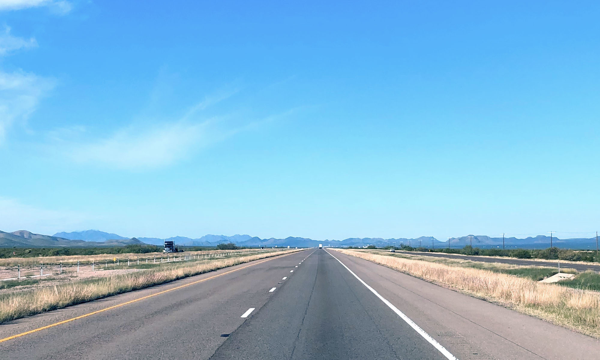
This is a very accessible camp site, just off I-25, yet far enough not to be bothered by highway noise.
Park Map
What we liked / disliked
The spaces offered limited privacy and were fairly close to one another but each had a covered picnic table and fire ring.
Very few areas had any shade other than the cover on the picnic table.
Great view of the lake!
Photos
Caballo Lake
Our site
Our site
Love this
Park map
This website uses cookies to improve your experience. We'll assume you're ok with this, but you can opt-out if you wish.AcceptRead More
Privacy & Cookies Policy
Privacy Overview
This website uses cookies to improve your experience while you navigate through the website. Out of these, the cookies that are categorized as necessary are stored on your browser as they are essential for the working of basic functionalities of the website. We also use third-party cookies that help us analyze and understand how you use this website. These cookies will be stored in your browser only with your consent. You also have the option to opt-out of these cookies. But opting out of some of these cookies may affect your browsing experience.
Necessary cookies are absolutely essential for the website to function properly. This category only includes cookies that ensures basic functionalities and security features of the website. These cookies do not store any personal information.
Any cookies that may not be particularly necessary for the website to function and is used specifically to collect user personal data via analytics, ads, other embedded contents are termed as non-necessary cookies. It is mandatory to procure user consent prior to running these cookies on your website.