McDowell Mountain Regional Park, AZ

Location & Map

  • When – Sept. 2019
  • Weather – Comfortable.

Facilities

  • Notes
    • McDowell is on the top of a plateau NorthEast of the Phoenix area and North of Fountain Hills.
    • The pads were packed gravel and asphalt and in great condition. All the sites were level and accessible.
    • Each site is spacious with fire rings and tables. We assumed the additional space was provided for privacy as there are no trees and shrubs to provide plenty of space between neighboring pads.
  • Park Map

What we liked / disliked

  • There is a covered playground and fun ‘snake slide’ for the kids, (see photo below)
  • The bathrooms and showers were clean with hot water.
  • The trails we walked were maintained and in good shape even after a couple of significant rains.
Photos

Grand Canyon National Park, AZ

Location & Map

  • When – Sept. 2019
  • Weather – Great!

Facilities

  • Notes
    • This was not our first visit to the Grand Canyon, but our first time to be camping in this National Park. We chose to use the Mather Campground which does not have hook-ups. We filled our freshwater tank and recharged our batteries with our solar during our stay and got by without any difficulty.
    • Not all pads are level and trailers  over  20’ would be pretty tight as most pads were narrow and short. Use Google maps when looking at the park map for reservations.
    • Access to shuttle bus is easy with a short walk to the bus stop near the camp check in and laundry/shower facilities. This service area is at the entry to Mather campground and includes fresh water and a dump station.
    • There is a great general store, post office and bank all in one plaza in the park.
  • Mather Campground Map

What we liked / disliked

  • Bike trails are all around the village although we did not ride on this trip.
  • FYI, dogs are only allowed where your car can drive AND on the South Rim Trail. If you or your dog get tired on the trail, you will need to hoof it back on your own as dogs are not allowed on shuttle buses.
  • Showers… 260 campsites share a single shower facility in the Mather Campground! These showers have minimal privacy with a curtain and a hook for your gear.
  • The showers also require $2.50 for 5 minutes of water!
  • Sites close to the Market plaza road will get traffic noise so plan your site selection with care.
  • Air hand dryers are a noticeable noise throughout the night from the restrooms located throughout the camp area.
  • Trains arrive at 10:30A and 11:30A and depart at 3:30P and 5:00P bringing hundreds of tourists. Sunday is a great ‘low crowd’ day and probably the biggest turnover day at the lodges and campgrounds.
  • Patience is a virtue… There are only a few passing lanes from Williams, AZ to the Grand Canyon South entry… be patient, especially behind all the rental campers enroute to the Park!
  • Wherever you go, go early in the day to avoid crowds.
  • The Grand Canyon is truly spectacular… plan your trips for sunrises facing west and sunsets facing east for the most interesting colors in the canyon.
  • Wildlife
    • The elk are aware of the fresh water at the dump station and will be frequent visitors throughout the day. These are wild animals and should not be a subject of you and your selfies!!
    • Ravens ‘patrol’ the park and are visiting every campsite looking for food and trash.
    • Condors and vultures soar along the canyon walls and scrappy chipmunks and ground squirrels work the crowd for food.

Photos

Red Rock Park, NM

Location & Map

  • When – Sept. 2019
  • Weather – Comfortable!

Facilities

  • Notes
    • This park is located east of Gallup, NM next to the Church Rock Post Office.
    • The office is disconnected from the campground by the rodeo arena and event center. You will need to visit the office, (even if you have pre-paid your reservation), to obtain a key for the restrooms. The bathrooms were clean, but need repair. 
    • The park is primarily “perma-campers” living in their RVs and travel trailers with a few overnight campers like us.
  • Park Map

What we liked / disliked

  • The ‘pads’ are dirt and sand areas with power and water hookups. 
  • None of the available sites were very level.
  • The park is next to Pyramid trail and Church Rock and has some nice hikes available.
  • There were trains running at regular intervals, so don’t expect too much peace and quiet at this park!
  • It is clear that the campground has a lot of use for all the Gallup events and rodeo grounds… and therefore a lot of hard use by the temporary residents.

Photos

Palo Duro Canyon State Park, TX

Location & Map

  • When – Sept. 2019
  • Weather – Warm!

Facilities

  • Notes
    • The camp area had clean restrooms and free showers with plenty of hot water!
    • The camp sites are at the bottom of the canyon and very quiet. Because we were at the bottom of the canyon, there was also no cellular service but a couple of Amarillo TV stations available that kept us informed about the weather.
    • We were in the Juniper area that had spacious pads and easy entry / exit. There was a mix of pull-through and back-in sites.
  • Park Map

What we liked / disliked

  • There’s a hole in Texas!” This is a big park, like most things in Texas… The Palo Dura Canyon area is second only to the Grand Canyon in Arizona for canyon size in the the US.
  • It was dry during our visit and the conditions were a bit dusty. The flies were a pain…
  • Wildlife – tarantula, road runners, armadillo, deer and turkeys.
  • Trails for all users – easy hikes to some scrambles and bouldering for the climbers. The trails were dog friendly, although that may change with the amount of dog poo left behind by not so smart dog people!! Take water and bags for your dog!
  • The Trading Post had supplies for the things you forgot and tourist stuff to commemorate the visit.

Photos

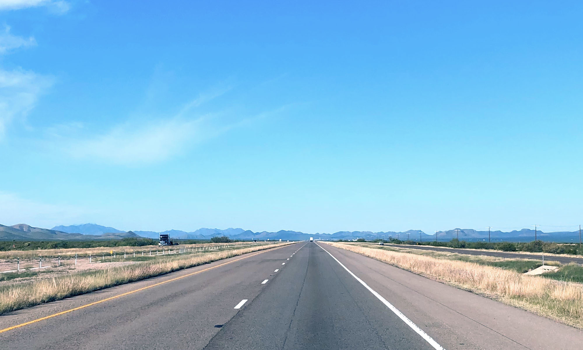
After Palo Dura Canyon, we headed west of Amarillo past the Cadillac Ranch to the halfway point of Route 66 and then on to the Petrified Forest and Painted Dessert.

Boiling Springs State Park, OK

Location & Map

  • When – July 2019
  • Weather – Warm

Facilities

  • Park Map

What we liked / disliked

  • Notes:
    • This is a very clean state park!
    • It is a good sized park with trails, pool, lake and a golf course near by.
    • There are a lot of trees, however, little camp site shade!
    • The pads are level and concrete with many pull through sites.
    • There is a small general store at office.
    • The trails are seasonally groomed and there is access to the North Canadian River.
    • Restroom and shower area are clean, however, the showers offer minimal privacy!
    • The park was fairly quiet… until you notice the trains… every 3-5 minutes it seemed, all night long!

Photos

West Overlook Campground, IA

Location & Map

  • When – July 2019 (second visit in Sept 2020)
  • Weather – Warm (2020 visit very comfortable)

Facilities

  • Park Map

What we liked / disliked

  • Notes:
    • Pads are relatively level, some are quite short so hopefully your assignment will be sized right for you.
    • The pads are gravel, but stable and packed.
    • Showers are clean and some have fans to move the air around.
    • Several camping areas in the park and 6 separate camping loops in our area.
    • Sites 1-38 are up the bluff from the lake numbers 40 and up are closer to the water level. The upper area has less noise from the water.
    • Activities:
      • Playgrounds
      • Horse shoe pits
      • Sand volleyball area separate from the beach
      • Swimming area
      • Sand beach
    • There is an automated Day Use pay station, recycling, fish cleaning area and dump station all at the park entry.
    • Not far off the interstate 80, but no noise from the traffic
    • It looked like there was a trail or bike path into the city.
    • About a 20 min. drive to the Amana Colonies.
    • Update:
      • We stopped through this park for a second time in Sept. of 2020 and entered from the east side.
      • We camped closer to the lake and had good weather for our stay.

Photos

Maumee Bay State Park, OH

Location & Map

  • When – July 2019
  • Weather – Hot! Rained and cooled down 20 degrees… but warmed to 95 degrees the next day

Facilities

  • Park Map

What we liked / disliked

  • Notes:
    • This park is on Lake Erie and is a wonderful facility!
    • One point of concern:
      • The signage does not lead you to camp registration building… and
      • Google leads you to the lodge
      • Here is the link to the store/registration building.
    • Most pads are semi private with trees and bushes separating the areas.
    • Everything around us was level and had easy access.
    • Clean showers and plenty of hot water in the restroom/shower buildings.
    • Laundry facilities were located throughout the park.
    • This is a big park with a lot to do!
      • A golf course and other amenities
      • Activities listed for every day.
      • Huge trail system!  
      • Great for biking, hiking and birding
      • There were Gold Finches everywhere…
    • It was Hot! 

Photos

Cedars of Lebanon State Park, TN

Location & Map

  • When – July 2019
  • Weather – Warm

Facilities

  • Park Map

What we liked / disliked

  • Notes:
    • This park is just east of the Nashville metro area.
    • The spaces are narrow for big rigs, although most are long enough for anything.
    • The camp area is clean and simple.
    • Most pads were shaded and level
    • The pads are pull through which is handy.
    • See brochure for amenities 
    • A pool and the pool area is huge, however it is closed for reconstruction! 
    • The deer seemed to be everywhere and were not bothered by the campers.
    • The park is quiet and off major highways.
    • The sites are small and close to your neighbors.
    • Trails are available in the park and at least one Eagle Scout marked trail that we hiked.
    • Hot water was available in the showers!!! Yeah!
    • This was a quiet park and even at dusk, most campers were in for the night.
    • We noticed a large laundry area and all machines appeared to be in working order.
    • There is a small general store in campground that is opened late and accommodates late check ins.
    • There is a gas station at entrance of park as some routes to/from this park had no services available.

Photos

Lake Catherine State Park, AR

Location & Map

  • When – July 2019
  • Weather – Warm

Facilities

  • Park Map

What we liked / disliked

  • Notes:
    • This park covers large area outside Hot Springs, AR.
    • There are numerous water activities and trails through the trees and near the lake.
    • We saw yurts and tent rentals available. See the state park website for info.
    • The bath and showers units are modern with  3 or 4 units all in walking distance in the park. 
      • However, the showers were lukewarm…
    • Most sites seemed fairly level and could accommodate most rigs.
      • Large pads are available for big rigs.
      • Some pads are all completely asphalted, however, some are partially covered in crushed rock.
    • There are shaded sites off the water and waterside sites with few trees.
    • The park is not near the highways  and is very quiet
    • Raccoons! Keep your gear stored and protected!

Photos

Caprock Canyons State Park

Location & Map

  • When – June, 2019
  • Weather – AC needed… hot!

Facilities

  • Notes:
    • Restrooms in disrepair, but showers were hot!!
    • Some sites have privacy with brush and small trees
    • Bike and horse trails available.
    • All sites have sheltered picnic tables
    • Lake accessible from camp sites
    • Very quiet
    • Pads are level
    • Visitor center allows an up close view to a mounted bison
    • Trails are available However, Bison have right of way!
  • Park Map

What we liked / disliked

  • Notes:
    • Dump station closed
    • Restrooms in disrepair, but showers were hot!!
    • Minimal shade
  • Wildlife
    • Bison and prairie dogs
  • Media
    • No TV and Minimal cell service

Photos